


Image, Shutterstock; logo courtesy of Lindsey Electric; designed by TTR
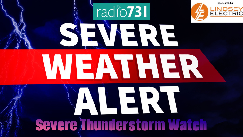
The National Weather Service in Memphis has issued a Severe Thunderstorm Watch until 4 p.m. Thursday, July 18, 2023, for several counties in West Tennessee.
Those counties include Benton, Carroll, Chester, Crockett, Decatur, Dyer, Gibson, Haywood, Henderson, Henry, Lake, Lauderdale, Madison, Obion, and Weakley.
This includes the cities of Alamo, Blytheville, Brownsville, Camden, Caruthersville, Corning, Decaturville, Dresden, Dyersburg, Henderson, Humboldt, Huntingdon, Jackson, Kennett, Lexington, Martin, Milan, Paragould, Paris, Parsons, Piggott, Ripley, Tiptonville, and Union City.

According to NWS, “A large portion of the Mid-South has been upgraded to an Enhanced Risk for severe storms this afternoon and evening. Damaging winds and hail are the main threats, but a tornado cannot be ruled out.”

Our severe weather coverage is sponsored by Lindsey Electric, your Generac generator dealer in Jackson. Call 731-423-1580, or visit Lindsey Electric Service dot com. Lindsey Electric – The authority for your power solutions.