


Image, Shutterstock/ Radio 731 logo courtesy of Forever Communications
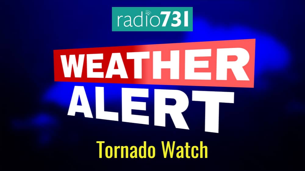
The National Weather Service has issued Tornado Watch 552 in effect until 11 p.m. Central Friday evening for the following areas:
In WEST TENNESSEE: Carroll Crockett Dyer Fayette Gibson Hardeman Haywood Henry Lake Lauderdale Madison Obion Shelby Tipton Weakley This includes the cities of Alamo, Bartlett, Batesville, Blytheville, Bolivar, Brownsville, Caruthersville, Clarksdale, Collierville, Corning, Covington, Dresden, Dyersburg, Forrest City, Germantown, Harrisburg, Helena, Holly Springs, Humboldt, Huntingdon, Jackson, Jonesboro, Kennett, Marianna, Marks, Martin, Memphis, Milan, Millington, Oakland, Olive Branch, Paragould, Paris, Piggott, Ripley Tenn., Senatobia, Somerville, Southaven, Tiptonville, Tunica, Union City, West Helena West Memphis and Wynne.
According to the National Weather Service’s hazardous outlook, there is a moderate to slight risk across the Mid-South Friday evening. Strong to severe thunderstorms will be possible late Friday afternoon and throughout the overnight hours. Tornadoes, damaging winds, and large hail will be the main hazards from any severe storms that develop. Locally heavy rainfall will be possible as well.
Strong southerly winds will affect the Mid-south Friday and Friday night with wind gusts over 30 mph at times.
Now is the time to prepare,” NWS said in a Facebook post Friday afternoon.