


Image, Shutterstock; logo courtesy of Lindsey Electric; designed by TTR
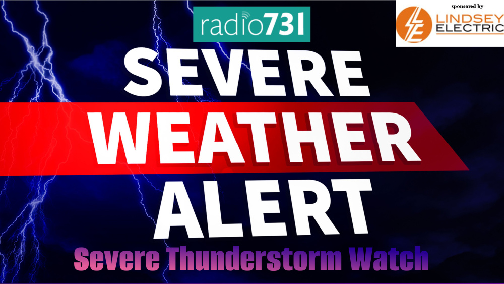
THE NATIONAL WEATHER SERVICE HAS ISSUED SEVERE THUNDERSTORM WATCH
129 IN EFFECT UNTIL 9 PM CDT THIS EVENING FOR THE FOLLOWING AREAS

IN TENNESSEE THIS WATCH INCLUDES 7 COUNTIES

IN WEST TENNESSEE

BENTON                CHESTER               DECATUR
HARDEMAN              HARDIN                HENDERSON
MCNAIRY

THIS INCLUDES THE CITIES OF ABERDEEN, AMORY, ASHLAND, BOLIVAR,
BOONEVILLE, BRUCE, CALHOUN CITY, CAMDEN, CHARLESTON, COFFEEVILLE,
CORINTH, DECATURVILLE, FULTON, HENDERSON, HOUSTON, IUKA,
LEXINGTON, NEW ALBANY, OKOLONA, OXFORD, PARSONS, PONTOTOC,
RIPLEY MS, SAVANNAH, SELMER, TUPELO, AND WATER VALLEY.

Severe Thunderstorm Watch: Be Prepared! Severe thunderstorms are possible in and near the watch area. Stay informed and be ready to act if a severe thunderstorm warning is issued. The watch area is typically large, covering numerous counties or even states.

Our severe weather coverage is sponsored by Lindsey Electric, your Generac generator dealer in Jackson. Call 731-423-1580, or visit Lindsey Electric Service dot com. Lindsey Electric – The authority for your power solutions.