Image, Shutterstock/ Radio 731 logo courtesy of Forever Communications
This hazardous weather outlook from the National Weather Service in Memphis is for portions of West Tennessee, East Arkansas, the Missouri Bootheel and North Mississippi. A cold front will push through the region today with scattered to numerous showers and a few thunderstorms, according to the NWS.
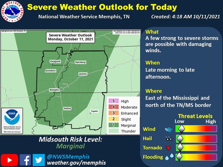
Day one: Monday and Monday night:
A few strong to severe storms are possible today across the Mid-South, mainly along and east of the Mississippi River and north of the Tennessee and Mississippi border.
The main threat will be damaging winds, NWS said.
The most likely time for strong to severe storms will be from late morning along the Mississippi River to late this afternoon near the Tennessee River.
Days two through seven: Tuesday through Sunday
NWS said the probability of widespread hazardous weather is low.