


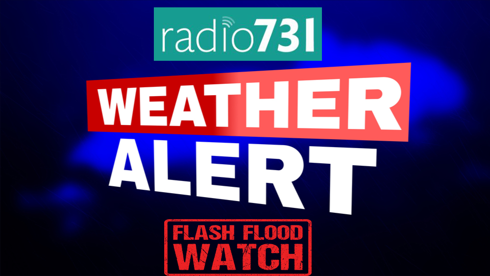
The National Weather Service in Memphis has issued Flash Flood Watch for portions of East Arkansas…North Mississippi…Southeast Missouri and West Tennessee, until 1 a.m. Saturday.
The watch has been issued in the following West Tennessee counties: Benton , Carroll, Chester, Crockett, Decatur, Dyer, Fayette, Gibson, Hardeman, Hardin, Haywood, Henderson, Henry, Lake, Lauderdale, Madison, McNairy, Obion, Shelby, Tipton and Weakley. In North Mississippi: Alcorn, Benton MS, DeSoto, Itawamba, Lafayette, Lee MS, Marshall, Panola, Pontotoc, Prentiss, Tate, Tippah, Tishomingo and Union. In Southeast Missouri, Dunklin and Pemiscot.
Through late tonight there will be additional rainfall of 2 to 3 inches, with localized amounts to 4 inches. Low-lying areas may flood.
NWS said you should take the following precautionary/preparedness actions: a Flash Flood Watch means that conditions may develop that lead to Flash Flooding. Flash Flooding is a very dangerous situation. You should monitor later forecasts and be prepared to take action should Flash Flood Warnings be issued.